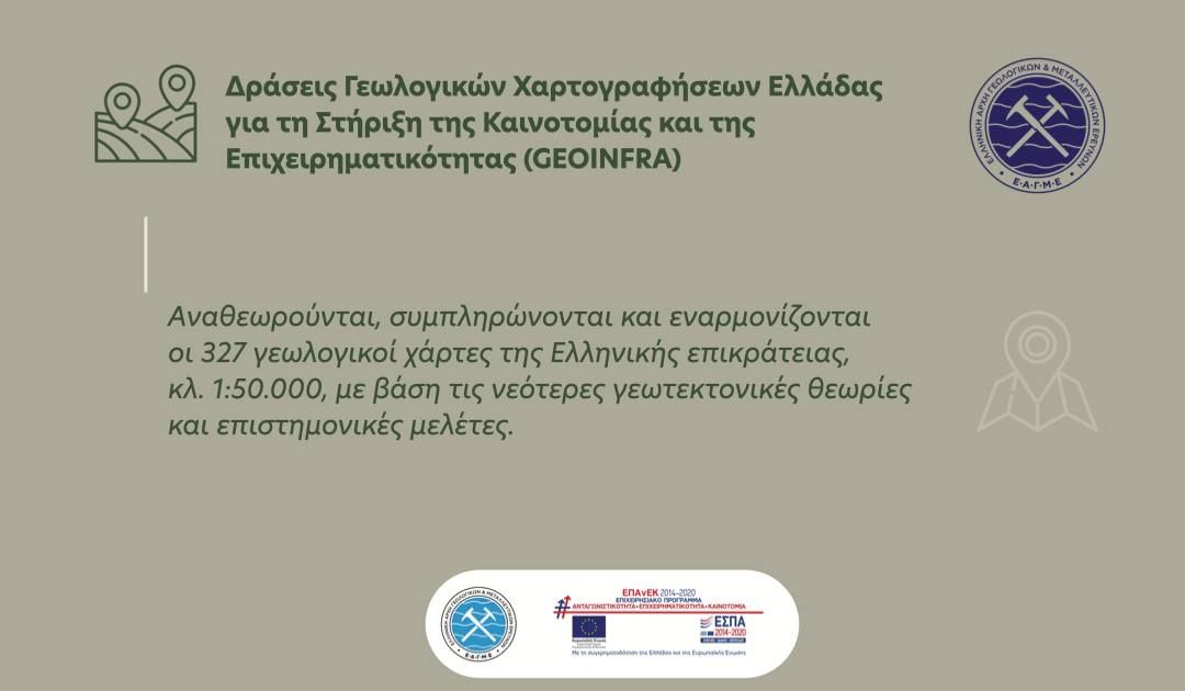
Within the framework of the GEOINFRA project, the 327 geological maps of the Greek territory at a scale of 1:50,000 are being revised, updated, and harmonized based on the latest geotectonic theories and scientific studies, while the unified code of geological formations is also being finalized.
In addition, the optimal methodology for conducting geological mappings and producing modern digital geological maps at a scale of 1:25,000 in pilot areas is being defined.
Scientific Project Managers:
- Dr. Irene Zananiri, Head of the Department of General Geology, Geological Mapping and Applications (GEXAE)
- Dr. Adonis Fotiadis, Geologist – Cartographer, GEXAE
See the full project presentation here  https://bit.ly/3Ldv8Ht